Dendra’s RestorationOS combines ecology, data science, machine learning, and automation to restore biodiverse ecosystems at scale.
Efficient Ecosystem Management
We equip you with the insights and support to restore biodiverse ecosystems at scale.

Ecosystem Insights
Dendra’s Data Solutions can help analyse every inch of soil, and every plant, down to a single blade of grass to build up extremely detailed insights into the land’s condition, empowering you to make better-informed decisions.

Environmental Management
Dendra’s Management Suite enables you to confidently manage your rehabilitation plans and reporting, tracking progress and aligning with all stakeholders, all in one place.
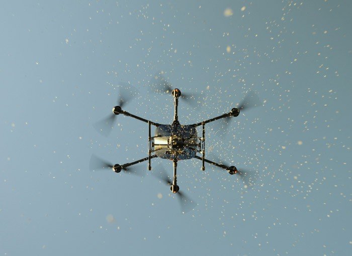
Aerial Seeding
Dendra’s Automated Seeding increases the rate of planting biodiverse ecosystems, facilitates access to remote areas, and dramatically reduces on-site safety risks.
Our Solutions
Providing new levels of intelligence and scalability to empower stakeholders to transform ecosystems.
High-tech, Nature-inspired Solutions
The natural world needs the power of technology to automate and accelerate the data and tools required to restore faster.

GIS And Remote Sensing Systems
Dendra’s mapping drones capture ultra-high-resolution data and imagery at scale for ecological surveys, visualising entire ecosystems from individual leaves on trees and blades of grass to every animal roaming the land.

Ecology-Trained ML
Monitoring key tree species growth and vegetation health, locating weed infestations and identifying erosion risk areas are just a few of the metrics generated by our Ecology-Trained ML technology. Applying data science to accelerate data-driven reporting and data-driven action.
Seeding Drones
Dendra’s seeding drones enable aerial seeding for biodiversity at scale. Each of our in-house built drones can seed 60 hectares per day, and all our drones are made to be flown in a swarm by a single flight team, more than doubling our capabilities. As a result, we facilitate seeding 11 times faster and 3 times cheaper than traditional methods of remediation.