Tracking Athel Pine in Queensland
In the Bowen Basin, a small but determined environmental team was wrestling with a weed that loves to infest waterways: Athel pine (Tamarix aphylla).
A Weed That Follows the Water
First introduced to Australia for shade and windbreaks, Athel pine quickly discovered a better strategy: ride every flood pulse, lodge in a new riverbank, and then crowd out anything that can’t tolerate salt. The species excretes brine through its leaves, turning soil beneath its canopy into a miniature salt pan. Native pastures surrender; creek lines become monocultures of feathery green.
On this site, narrow gravel tracks and disconnected roads made ground surveys a slow crawl. Add half-hidden tributaries and steep rehabilitation slopes, and the task of “simply counting trees” became a logistical knot. Checking every stream after rain events might possible, but it’s hardly a scalable monitoring plan.
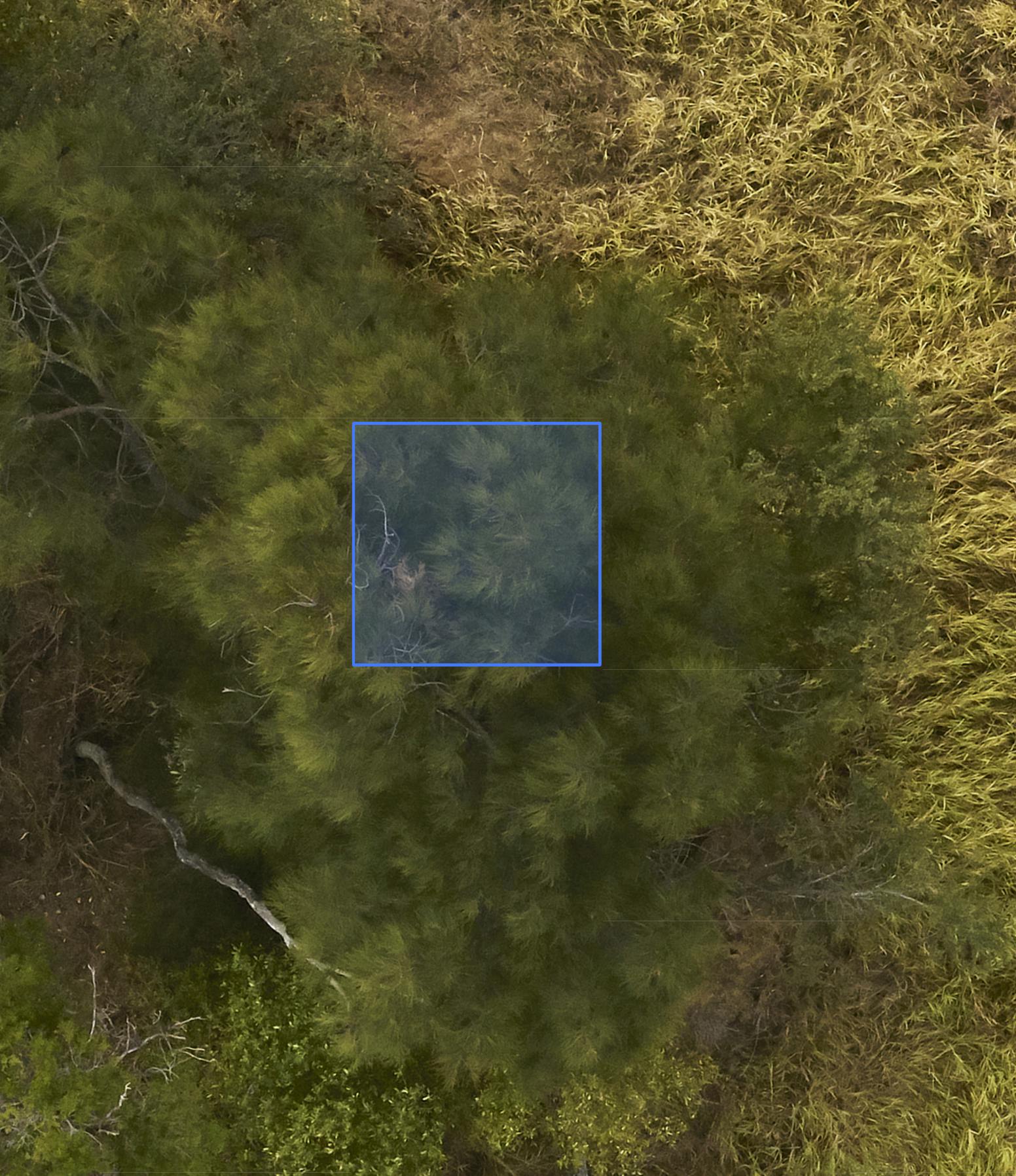
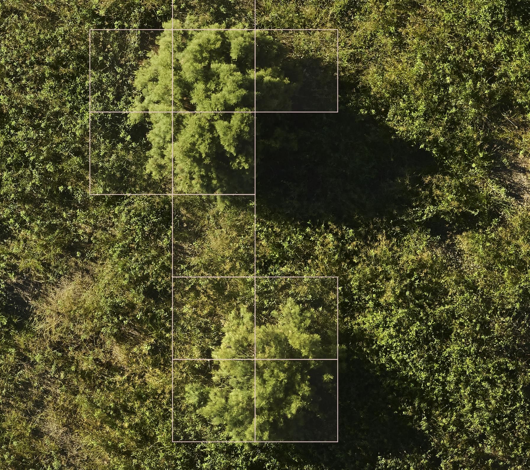
Example of Athel Pine labelled in ultra-high-res colour imagery
Calling in the Swarm
Rather than sending staff knee-deep into muddy gullies, the client asked Dendra to bring in our aerial survey fleet. Over several flights we stitched together a ultra-high-resolution colour and multispectral orthomosaic of the tenement, then trained our ecology-trained AI models to pick out Athel pine’s presence over the survey area.
The result was more than a map; it was a pulse check. Hotspots glowed along drainage lines, showing how erosion scars and salt-tolerant Athel Pine seedlings were feeding off each other. Where stems clustered tight, containment zones were planned. Where isolated trees clung to creek bends, rapid-response targets were identified before the next wet season could flush seeds downstream.
Insight First, Chainsaw Later
With the spread quantified and visualised, the site team could direct field crews exactly where they’d make the greatest dent - no guesswork, no meandering searches. That clarity trimmed both cost and time:
- Targeted eradication instead of opportunistic identification
- Proactive containment addressing infestations before they get worse
- Increased efficiency know exactly where to go over very large areas
Fast-forward a few seasons and the strategy is paying off. Follow-up drone surveys show containment lines holding, disturbance patches shrinking, and native grasses reclaiming creek flats that once crackled under a salty crust.
Lessons on the Wing
Invasive species often hide their impact one stream bend at a time. By flying above the rehab, we saw the pattern in a single glance, and helped turn an overwhelming weed problem into a focused management plan. It’s proof that a bird’s-eye view (even from carbon-fiber wings) can restore ground-level diversity more quickly and safely than a fleet of boots in the mud.