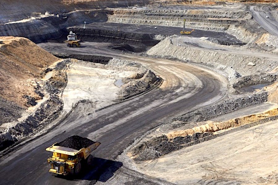
Mine Rehab Monitoring
Automated Species Detection
Map every hectare with compliance in mind. From gullies to canopy, generate detailed, spatially verified ecological insights to meet closure criteria and withstand scrutiny.
AI powered
Ecosystem census
Understand what’s living and where. Use AI for species identification to rapidly catalogue the population, prevalence and distribution of plants, animals and man-made objects over time.
AI powered
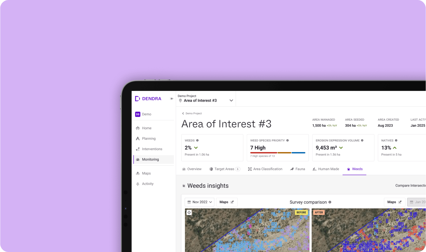
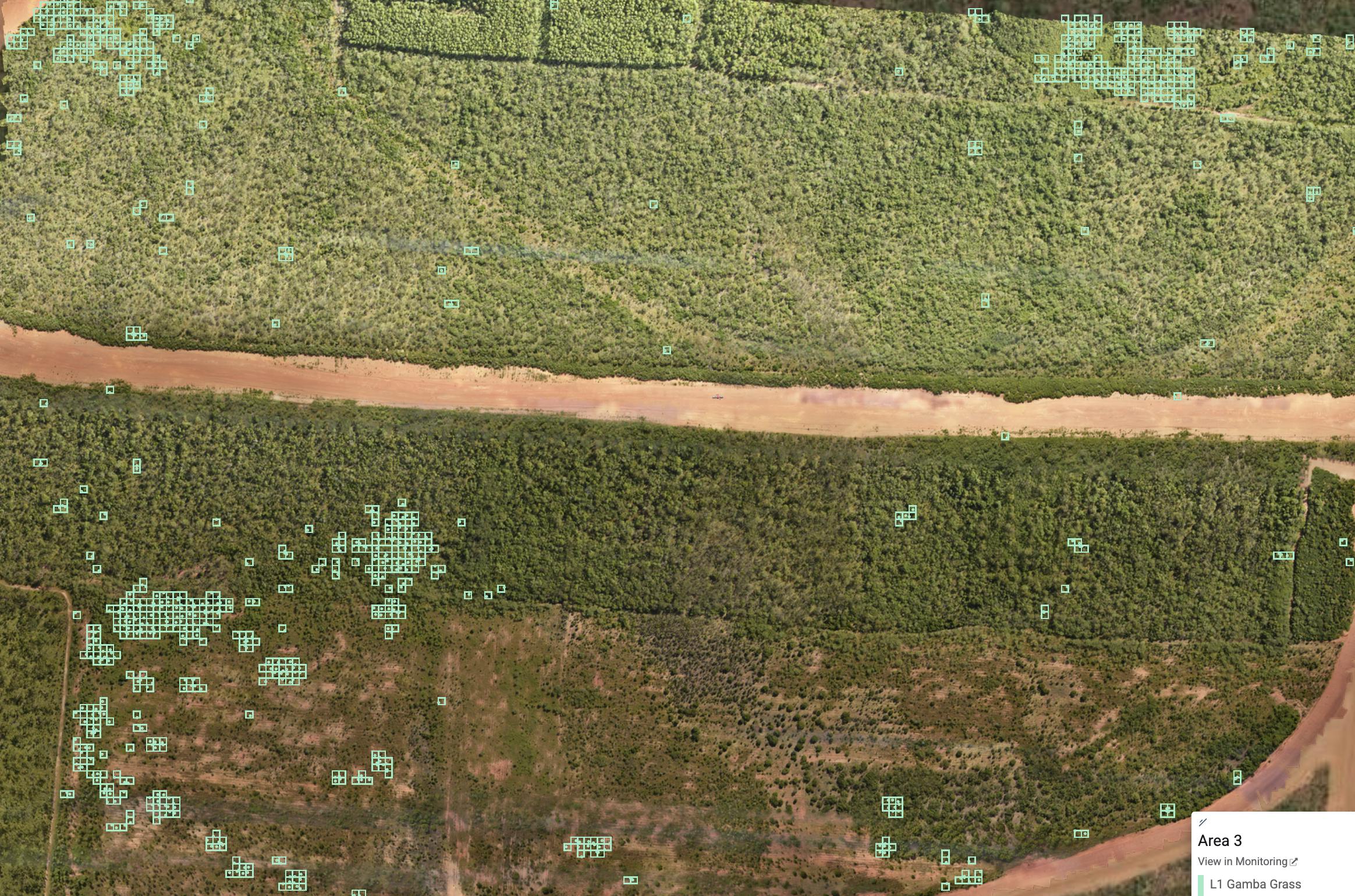
Weed out invasive flora
Remove the threat invasive species pose to native ones. Zero-in on the exact location where an intervention is necessary with precise coordinates.
Colour & Multispectral
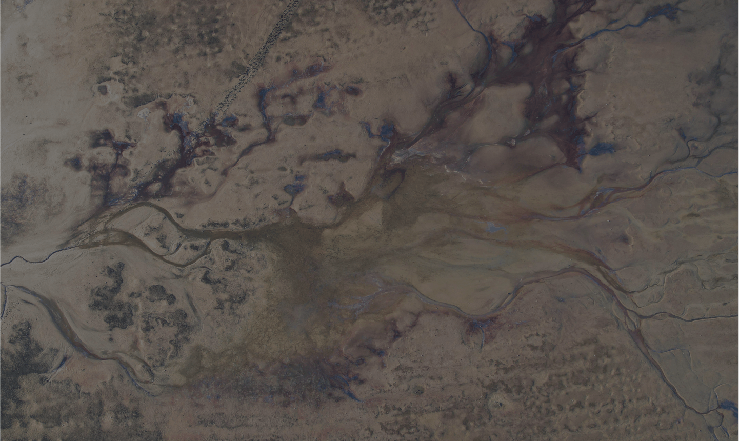
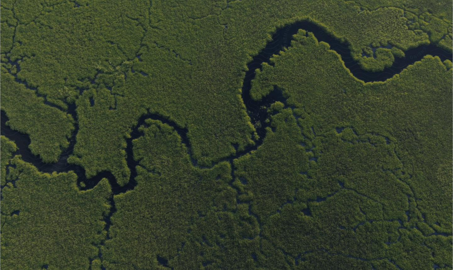
Area classification
Gain a complete picture of the ground coverage, identifying water, trees, shrubs, grasses and bare land, as well as any man-made structures.
LiDAR based
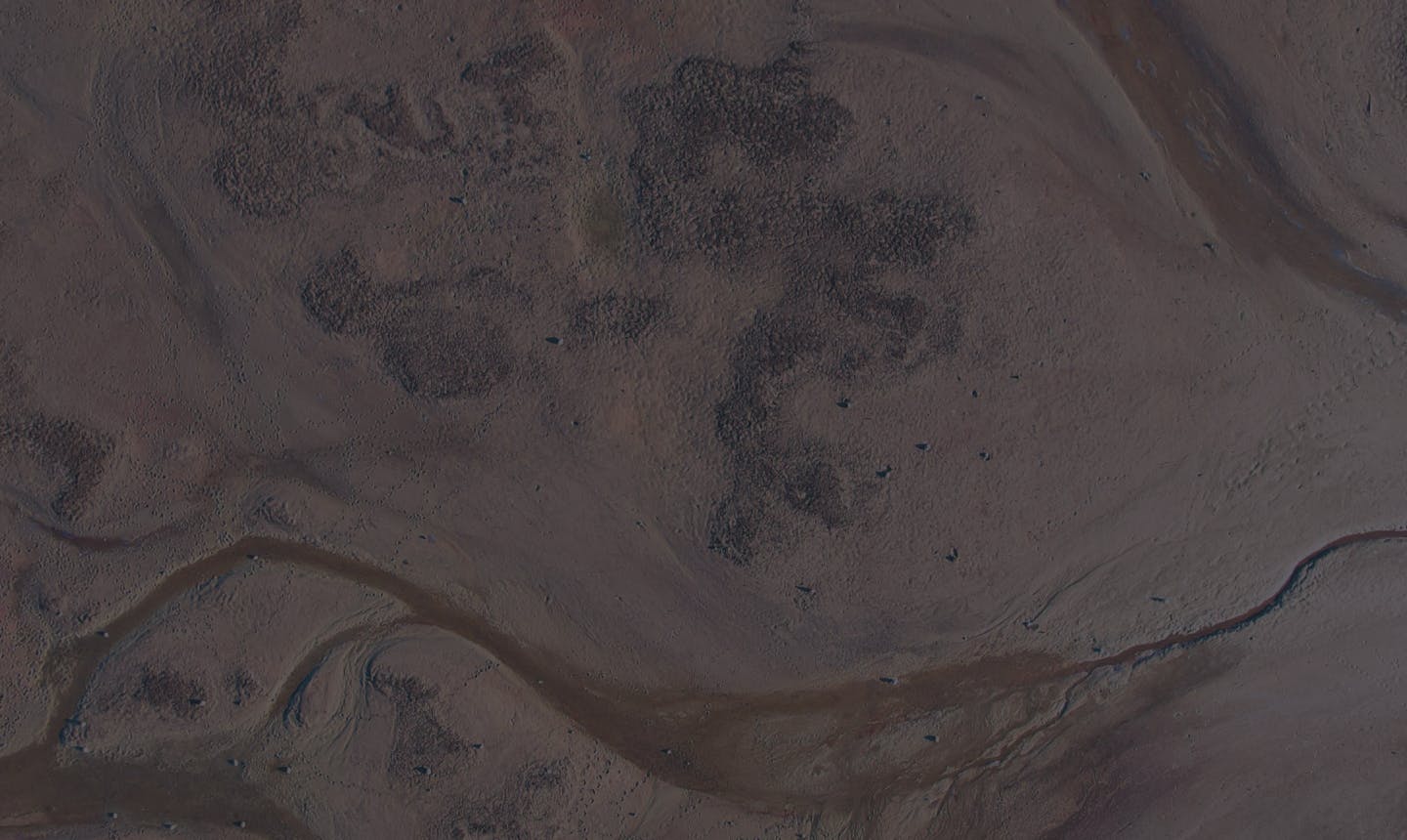
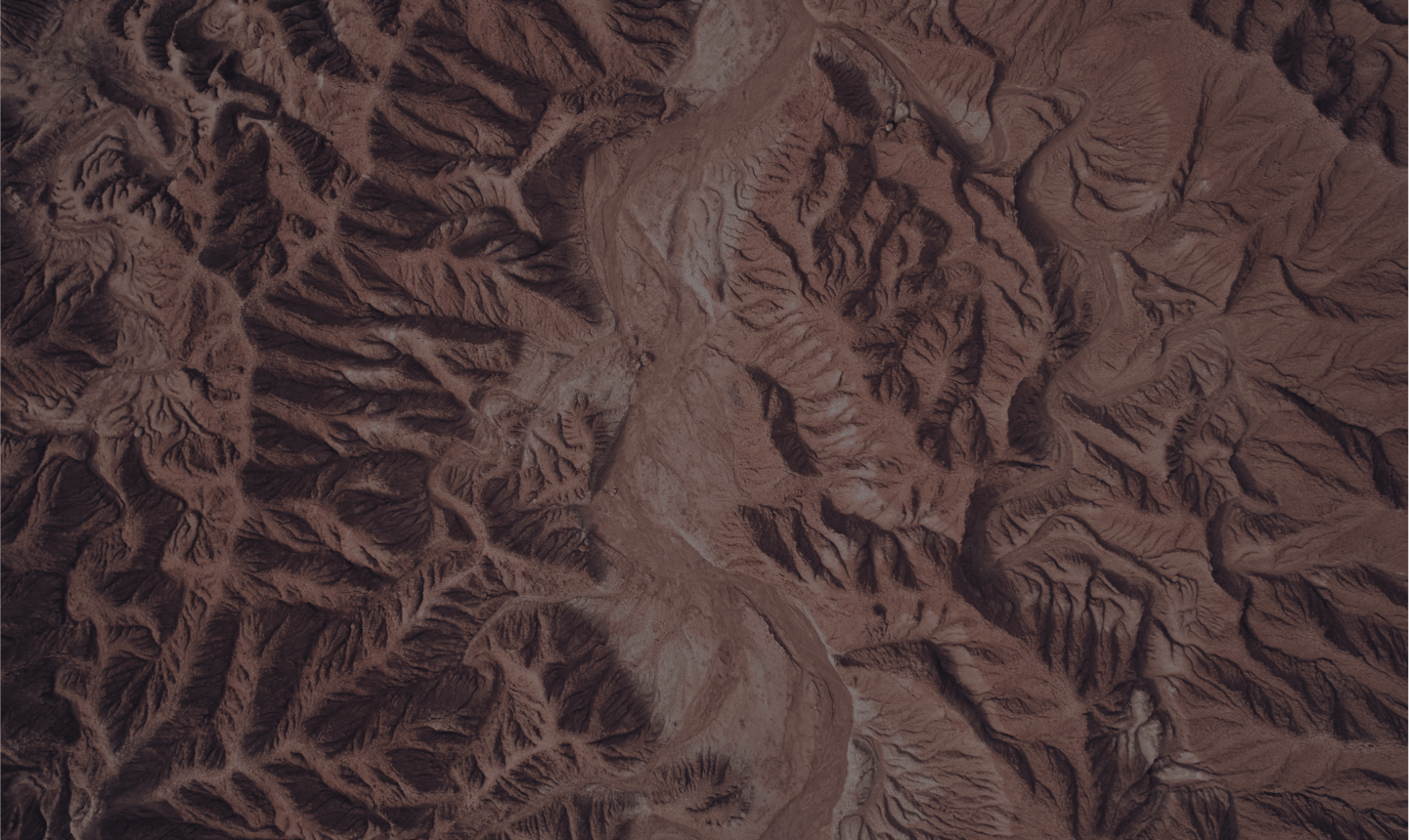
Dendra Erosion. Fill the data gaps.
Create heatmaps showing volumetric data. Assess rills, gullies and sediment movement and detect potential erosion threats before they become a problem.
LiDAR based
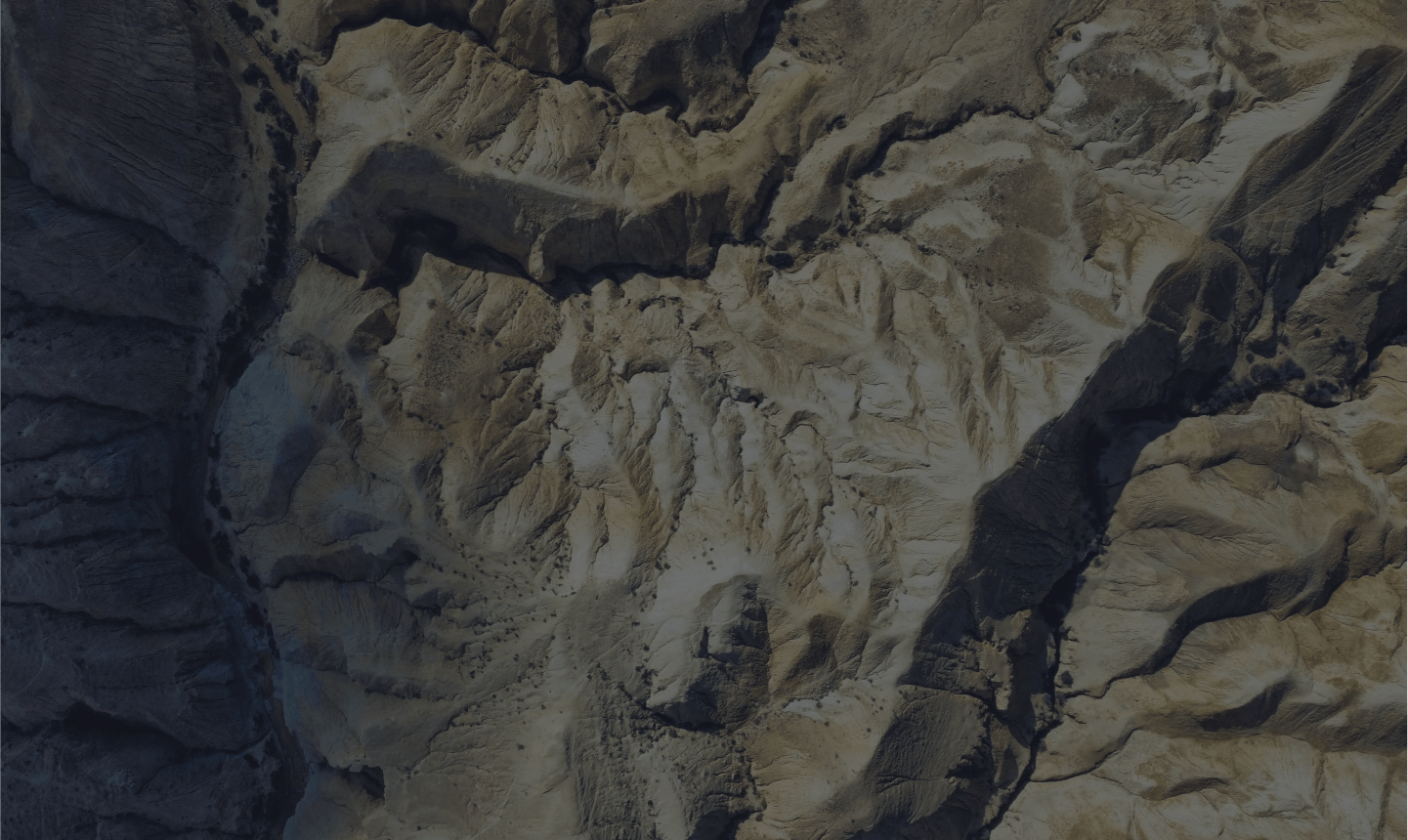
Every high, low and plateau
Record the elevations of the entire ecosystem, captured in an interactive 3D map showing all slopes and depressions.
Patented Technology
Aerial Seeding
Cut seeding timelines in half while reducing costs at scale. Take boots off ground to maximise efficiency for faster, safer and smarter rehabilitation
50% Faster, 100% Smarter
Compared to traditional seed-sowing methods.